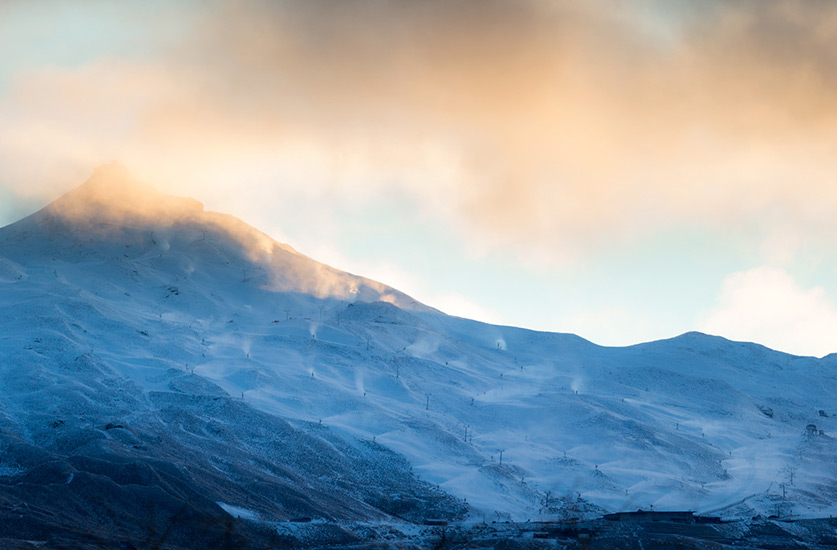
We have been in this situation before.. Wicked early snow, the season looks like its going to be killer…then it fizzles, leaving us with either no base and the odd top up of pow on top of exposed rocks..or plenty of base ( ice! ) but no fresh .That’s pretty much how the last 2 seasons have rolled.
But this time round it has a different feel… the feel of the seasons we used to get… cold, consistent fronts sweeping up the country, dropping regular dumps of light and dry, which consolidate into significant bases by the time we hit July. Evidence was seen last week when a 938 low developed off the Southern coast.. and produced 8 metre plus swells, some calling the biggest they had seen, and made Cyclone Pam’s offerings look like tidbits in comparison..and of course it dropped precious snow on the alps which even made it downtown in Queenstown and Wanaka. Major weather events like this are sometimes decades apart, and when they get backed up, by smaller systems of the same ilk that we are seeing right now, well that spells a ‘pattern’.. Is it El Nino?….Hell we don’t care who’s behind it or what its called, lets just hope its locked in for the rest of winter, see you on opening day!
PLANNED OPENING DAYS FOR COMMERCIAL SKI RESORTS:
Whakapapa open 27th June Mt Dobson open 4th July
Turoa open 27th June Cardrona open 13th June
Mt Lyford open 27th June Treble Cone open 25th June
Porters opening 19th Mt Hutt open 12th June
Roundhill open 27th June Ohau Snow Fields open 27th June
Cardrona open 13th June Snowfarm open 20th June
Coronet Peak open 13th June The Remarkables opening 20th June
Photos courtesy of Vaughan Brookfield: http://www.vaughanbrookfield.com
If your wondering why your lights have been flickering lately, heres the reason!..Guns blazing at Coronet Peak, backing up the natural snow received over the last two weeks and on target for an opening this Saturday!
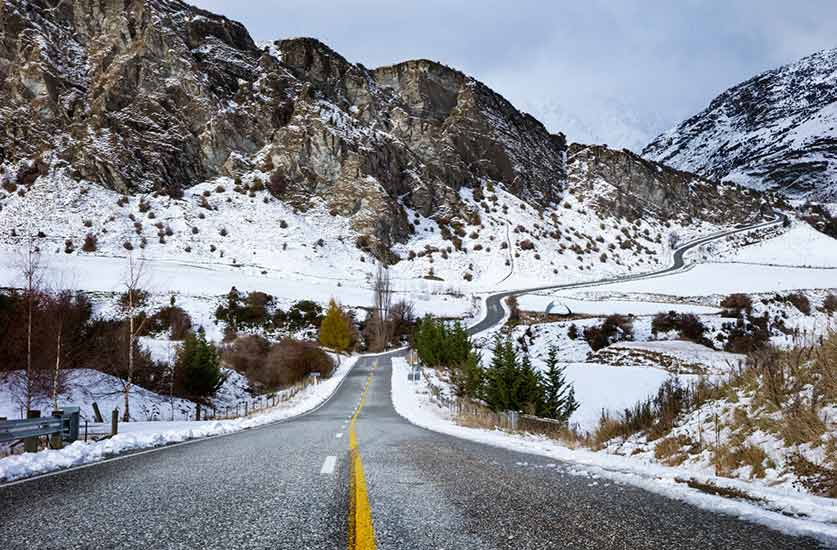
Queenstown streets were looking all ‘Colorado’ for a while there.
Time to check the chains are still fitting and the anti freeze is topped up!